Permanent plots across Caatinga and Cerrado
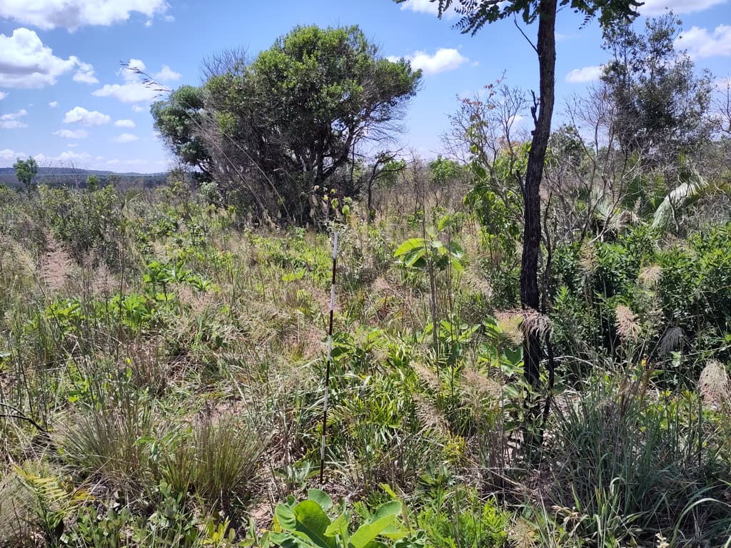
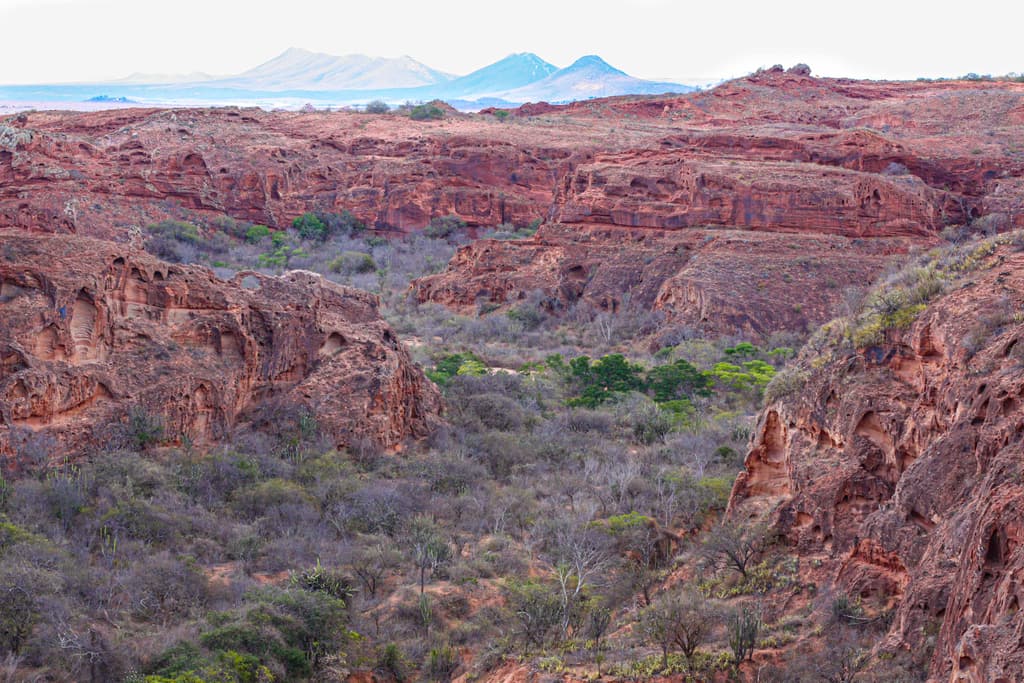
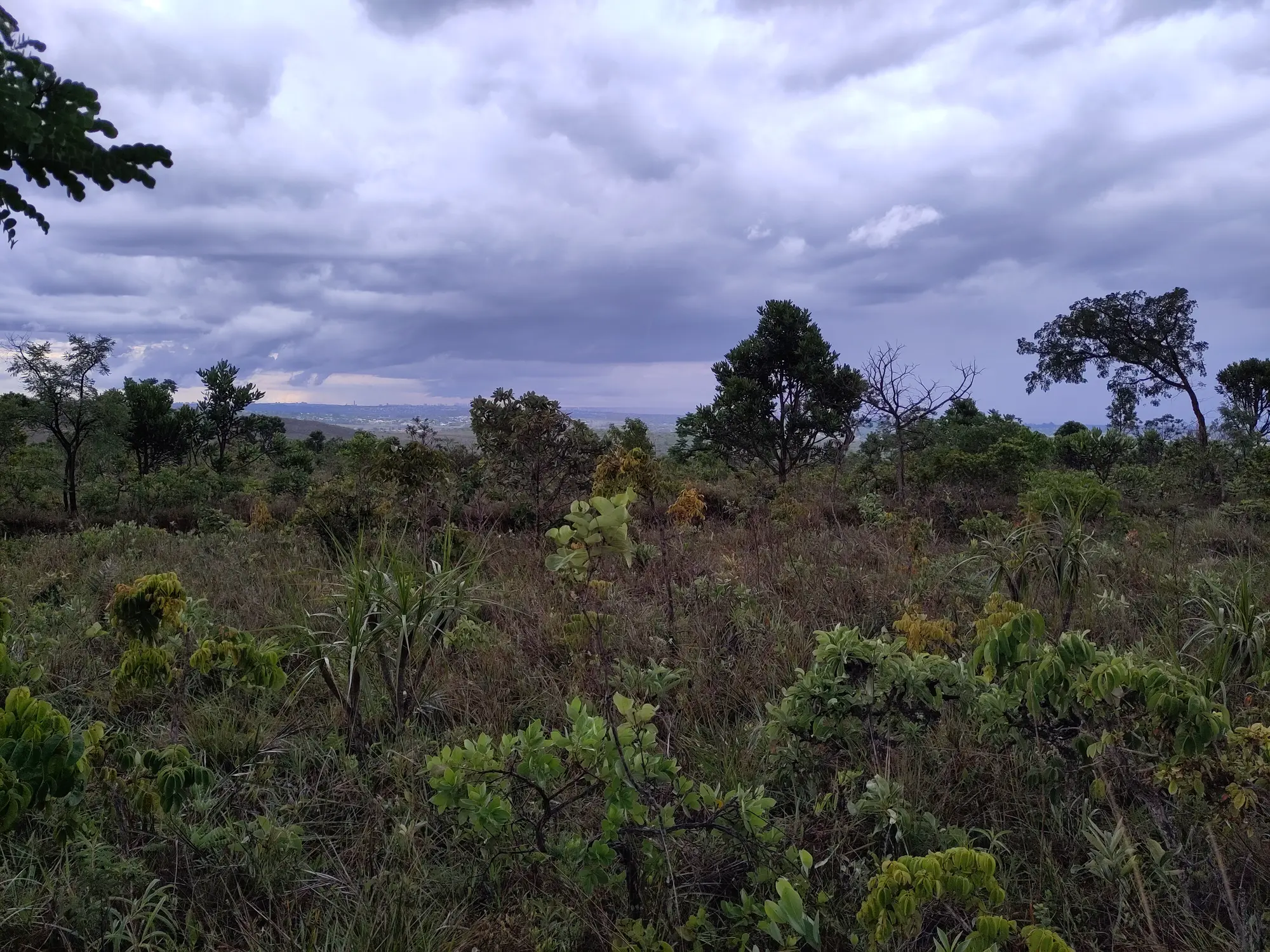
Field sites connect repeated vegetation measurements with local floristic composition, vegetation structure and landscape history.
 Rede C2Caatinga · Cerrado
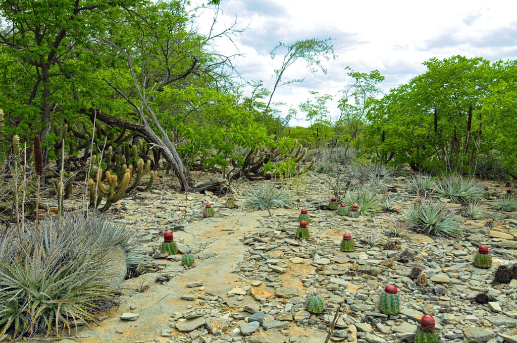
Field sites connect repeated vegetation measurements with local floristic composition, vegetation structure and landscape history.
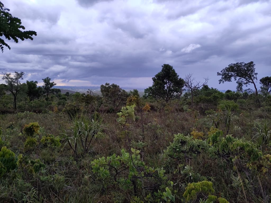
Climate, soils, vegetation structure and landscape descriptors support comparisons across environmental and geographic gradients.
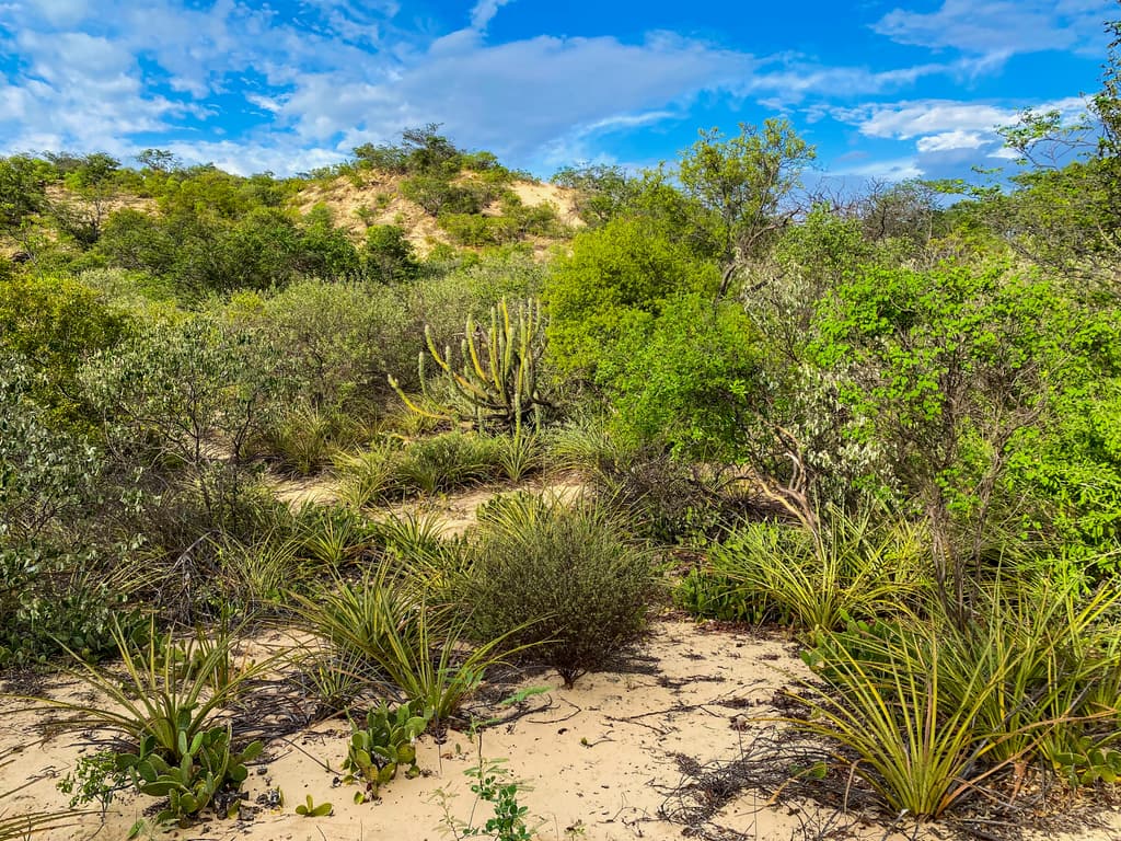
Harmonized observations support cross-site analyses of vegetation dynamics, biodiversity and restoration planning.
01 · The question
Across different sites and regions, RedeC2 studies how natural gradients and human-driven disturbances influence vegetation structure, successional pathways and the spatial turnover of species.
Bringing together researchers from multiple institutions, the network integrates permanent plots, floristic inventories, functional traits and environmental data to investigate how plant communities are structured and how they respond to climatic seasonality, soil conditions and landscape context.
02 · The territory
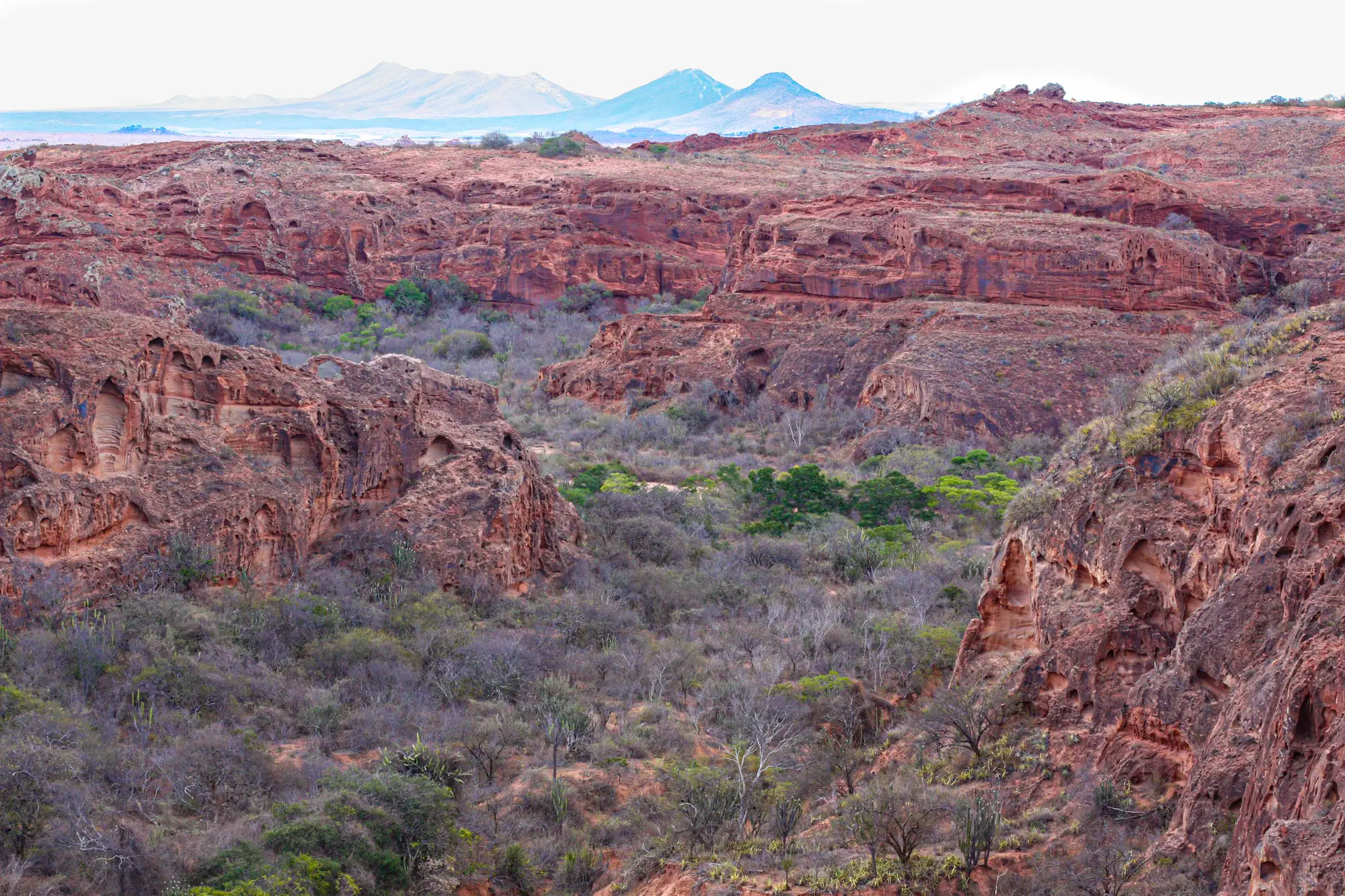
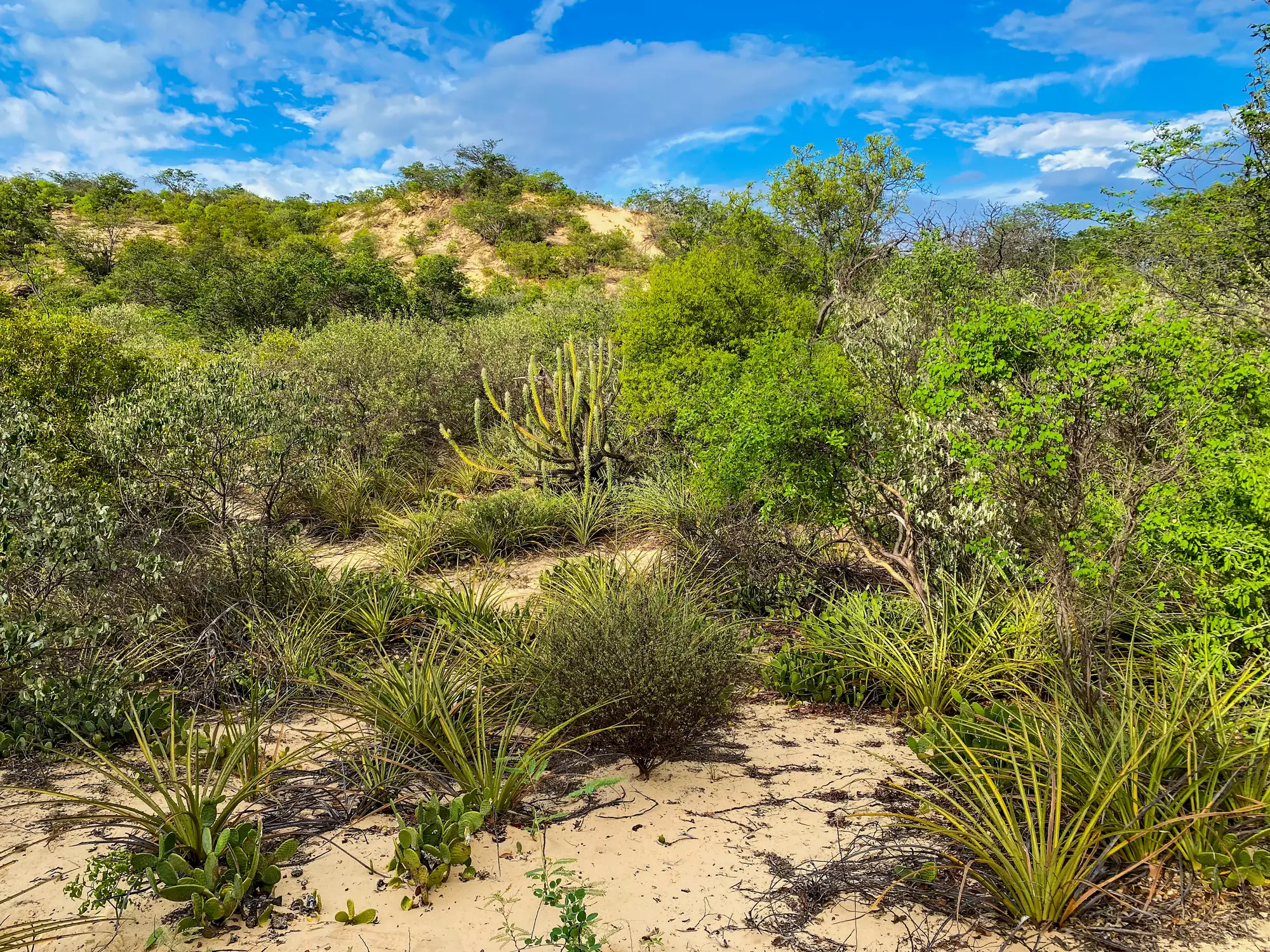
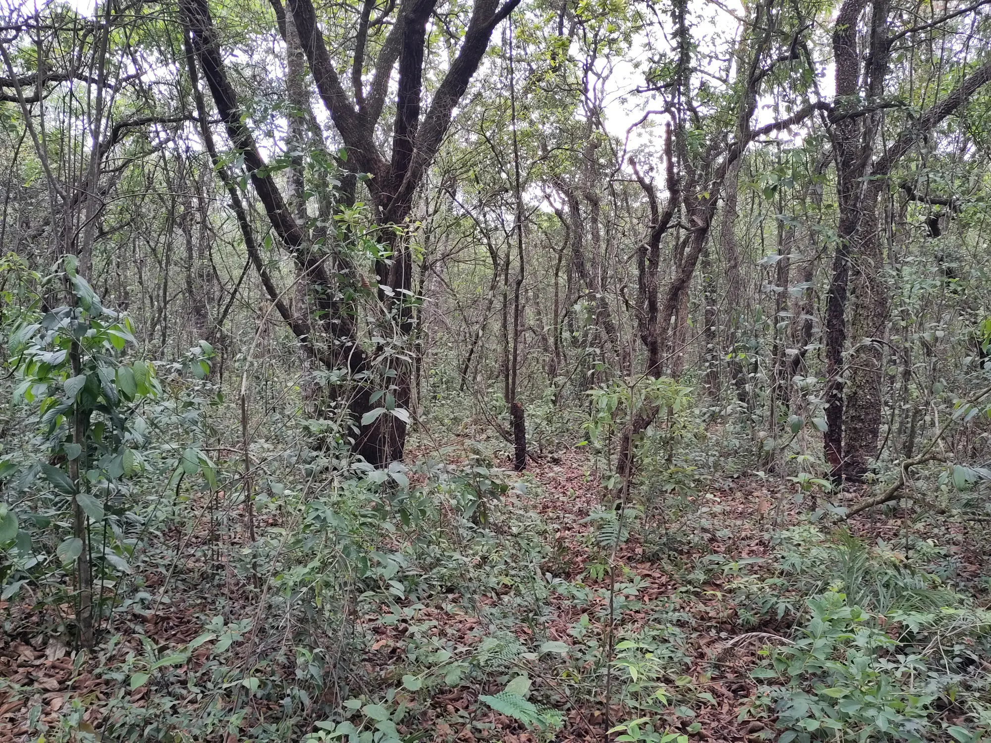
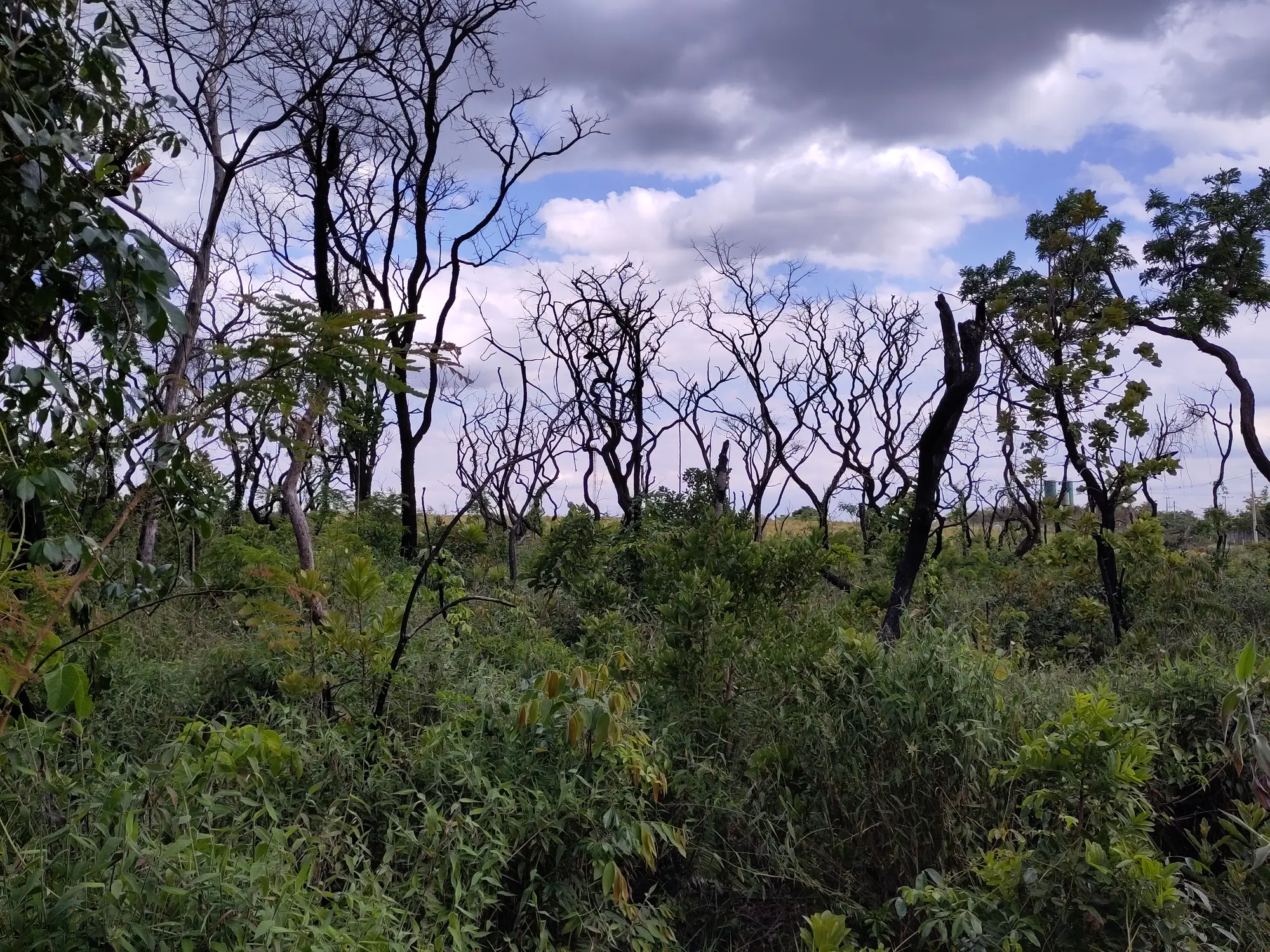
Field sites connect repeated vegetation measurements with local floristic composition, vegetation structure and landscape history.
41 permanent plots: 30 in Caatinga and 11 in Cerrado.
03 · The plot
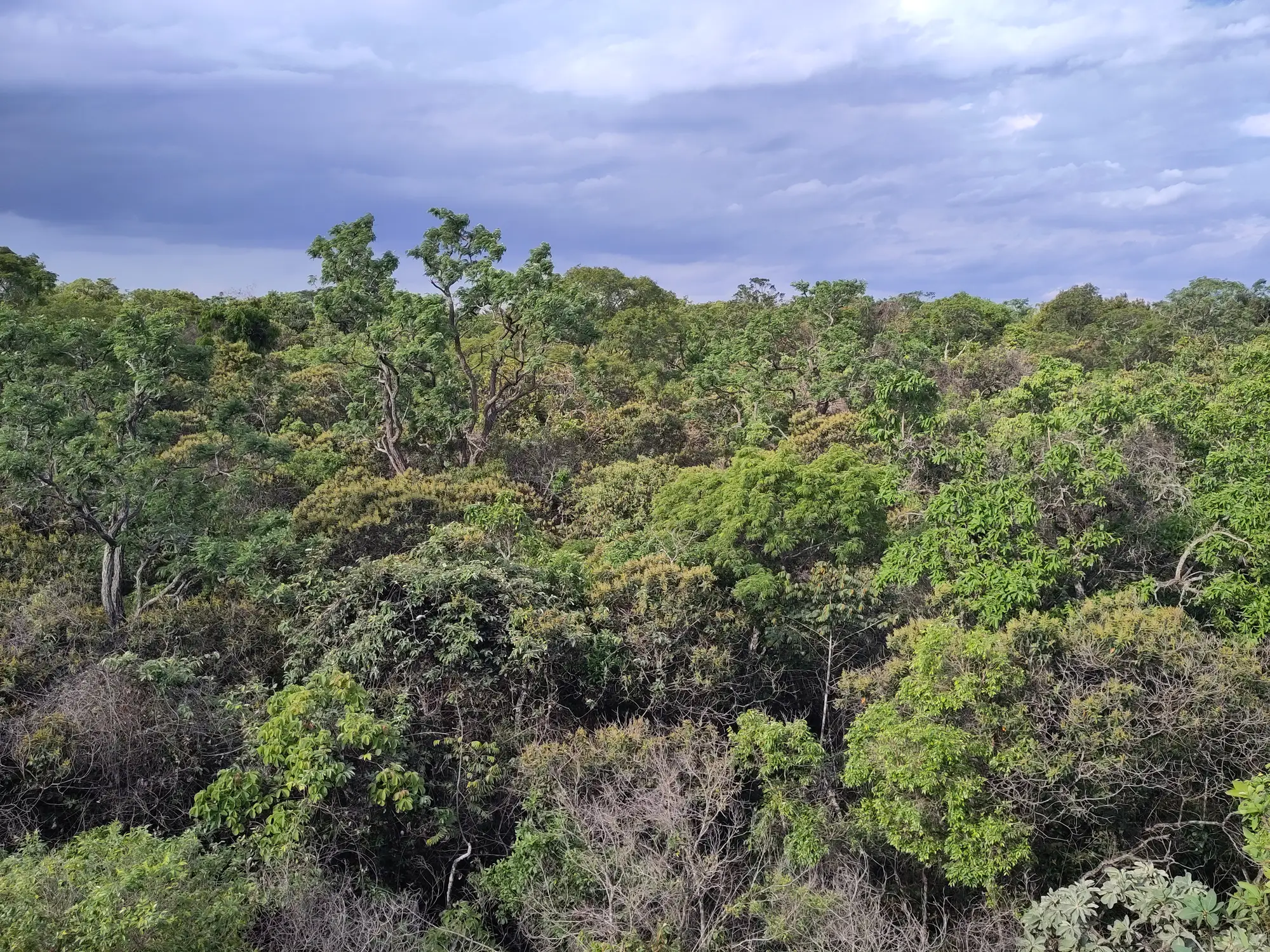
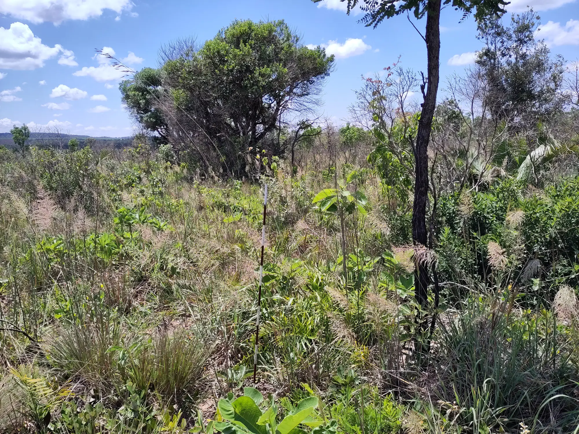
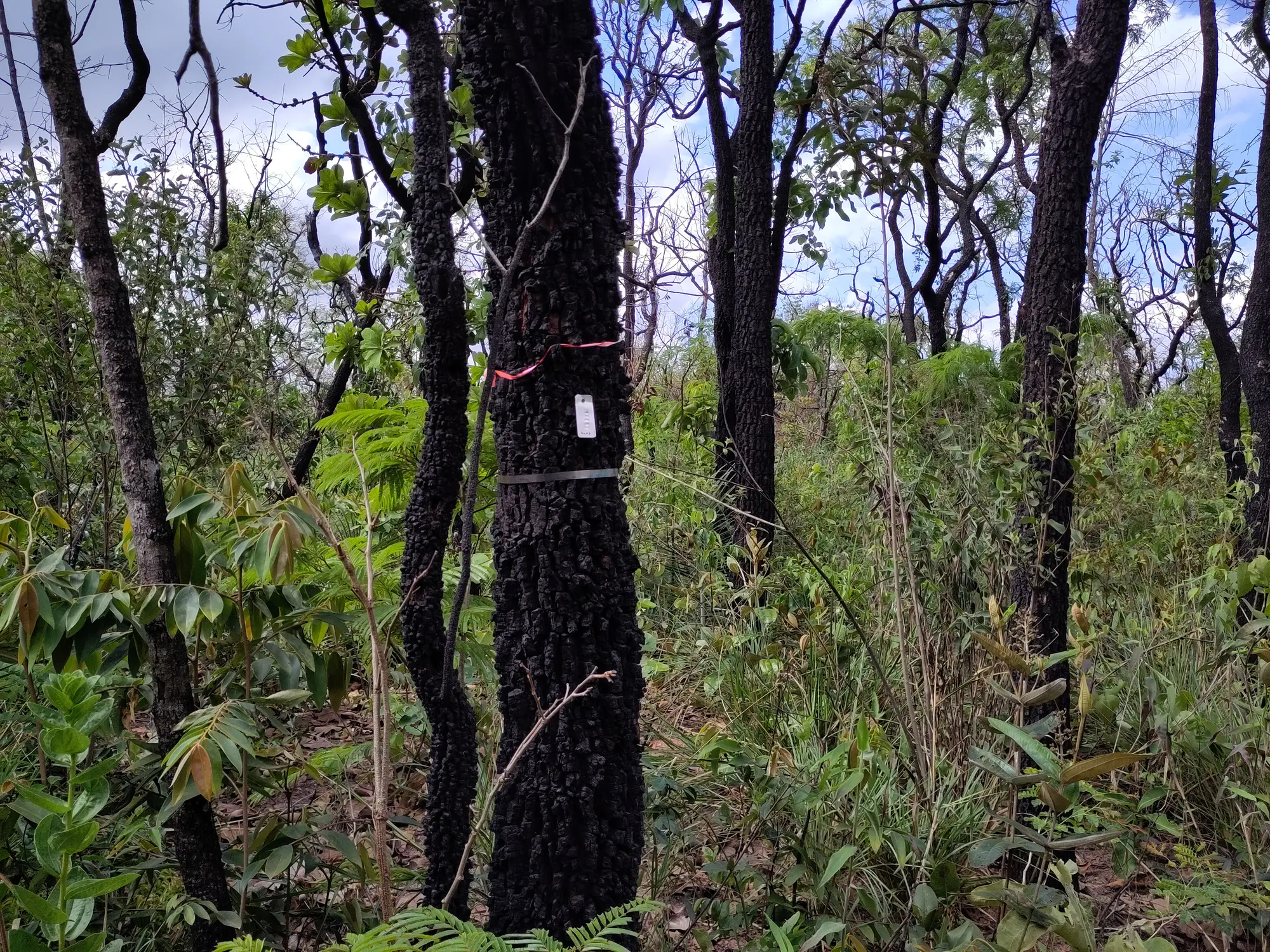
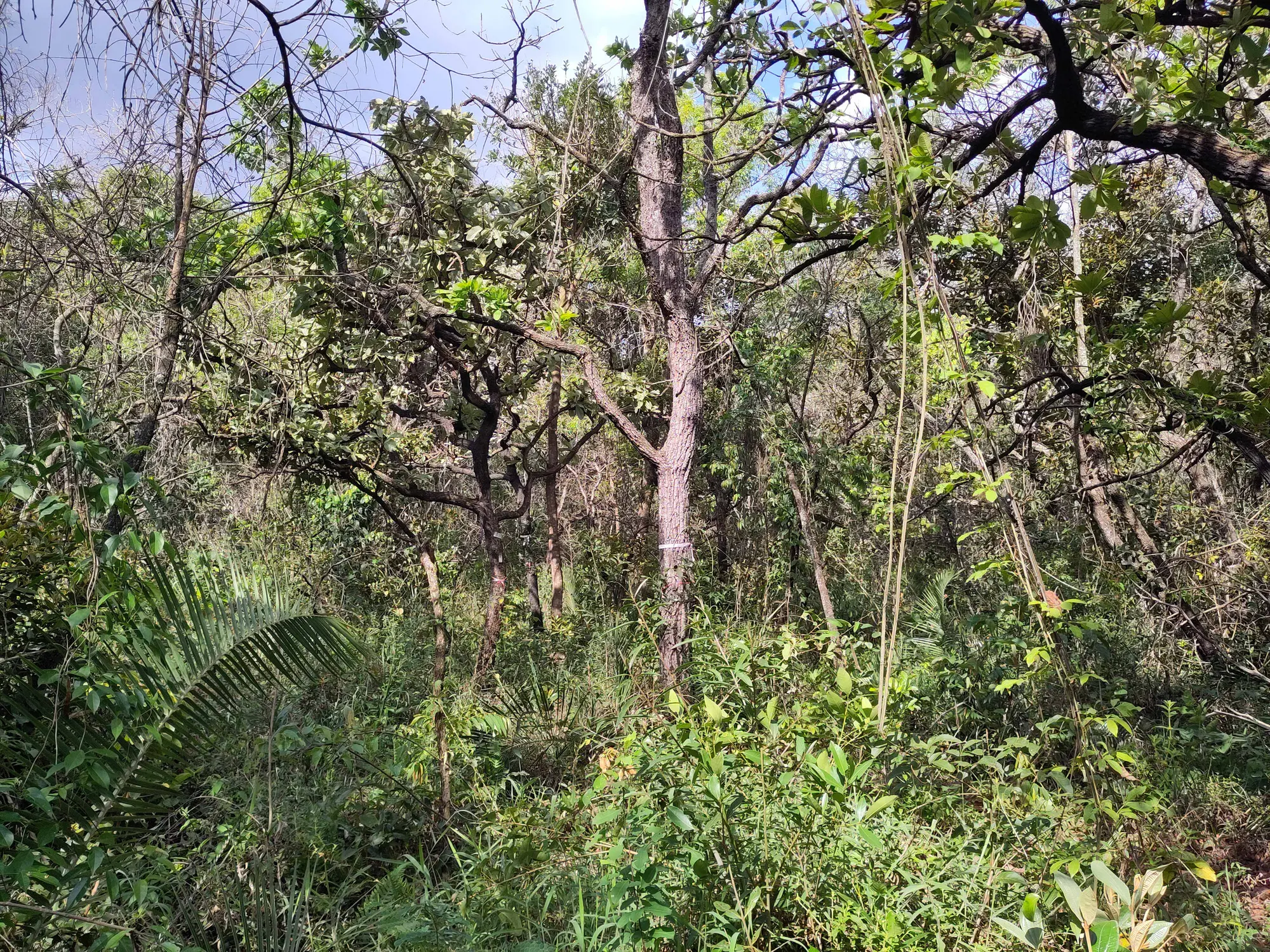
Repeated vegetation measurements provide the empirical basis for comparing structure, composition, recruitment, mortality and change across sites.
Diameter standards, multiple stems, damage codes, recruits, mortality and field note structure.
04 · Time
Repeated censuses connect local dynamics with broader ecological patterns across dry forests and savannas.
65 censuses between 2017 and 2024; 24 plots have been measured more than once.
05 · The network
Researchers, students, universities, research institutes and botanical gardens sustain field monitoring, data curation and scientific collaboration across RedeC2.
23 people from 15 institutions, linked to the plots they lead.
06 · The method
The network is structured to support both local monitoring and broader ecological synthesis. Each participating group preserves the specificity of its field site while contributing to a shared analytical framework for dry forest and savanna systems.
Protocols and referencesResearchers, students, universities, research institutes and botanical gardens sustain field monitoring, data curation and scientific collaboration across RedeC2.
Repeated vegetation measurements provide the empirical basis for comparing structure, composition, recruitment, mortality and change across sites.
Species inventories, taxonomic standardization and functional trait records help connect biodiversity patterns to ecosystem functioning.
Climate, soil and landscape layers are combined with field observations to understand the gradients shaping plant communities.
Harmonized datasets and open workflows support broader analyses of vegetation dynamics across Brazil's dry ecosystems.
Plot geometry, subplot layout, coordinates, tagging, recensus intervals and replacement rules.
Diameter standards, multiple stems, damage codes, recruits, mortality and field note structure.
Modules for herbs, seedlings and regeneration tracking compatible with dry-forest and savanna workflows.
Compatible modules for soils, functional traits and disturbance records strengthen ecological interpretation across sites.
07 · Take part
RedeC2 is part of a broader scientific landscape dedicated to long-term monitoring, biodiversity synthesis and the ecology of tropical dry ecosystems.
These connections place RedeC2 within a broader effort to integrate field ecology, long-term vegetation monitoring, phenology, functional traits, carbon dynamics and environmental data across sites and regions.
The network collaborates with initiatives and infrastructures including
Send a message to the RedeC2 coordination and network mailing group. The form opens on this page and your message is delivered by the site backend.
Complete the fields below. Replies will be sent directly to the email address you provide.