Rede C2 field standards
Internal standards for plot installation, recensus, disturbance records, traits, soils, field sheets and coding decisions.
 Rede C2Caatinga · Cerrado
01
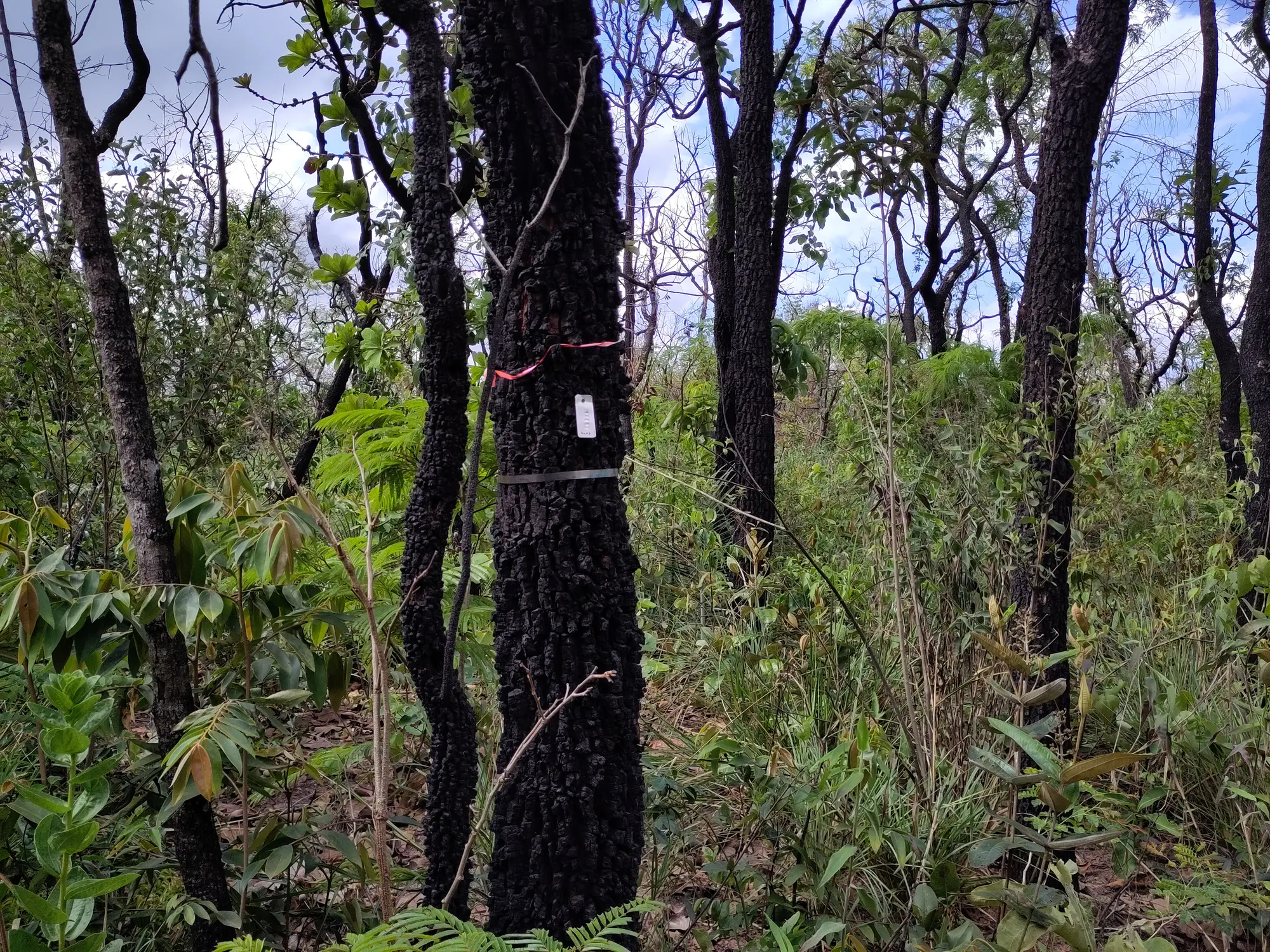
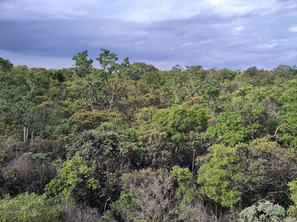
Rede C2 articulates research groups, permanent plots and methodological references for the long-term study of vegetation dynamics in Brazil's seasonally dry ecosystems.
The network brings together field sites in Caatinga and Cerrado, combining local ecological knowledge with shared monitoring principles. Its structure supports comparable observations of plant communities, including vegetation structure, floristic composition, recruitment, mortality, regeneration and environmental context.
Scientific coordination within Rede C2 is organized around interoperability: field decisions, plot metadata, taxonomic information, functional traits and environmental layers are documented so that data produced by different teams can be interpreted jointly across regions and through time.
02
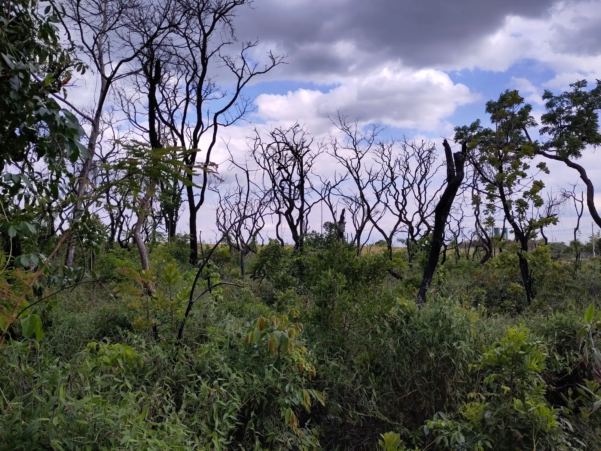
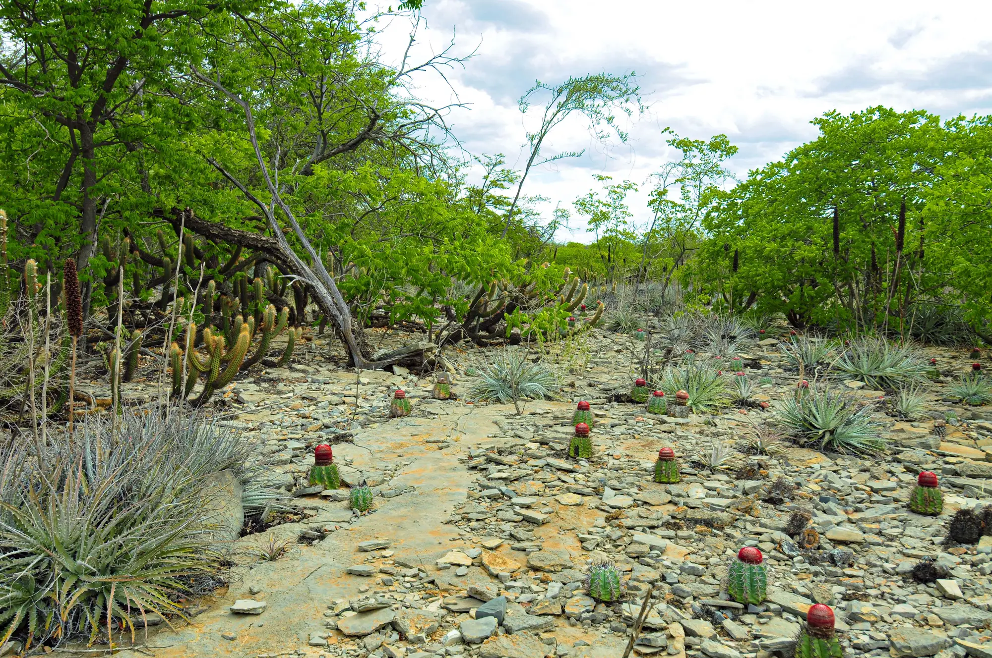
The network is structured to support both local monitoring and broader ecological synthesis. Each participating group preserves the specificity of its field site while contributing to a shared analytical framework for dry forest and savanna systems.
03
Internal standards for plot installation, recensus, disturbance records, traits, soils, field sheets and coding decisions.
Reference manual for establishing and remeasuring permanent plots in seasonally dry tropical forests, with guidance for plot layout, tagging, woody stems and long-term comparability.
Field resources, publications and practical material supporting tropical plot monitoring and interoperability across research networks.
Protocol pages and scientific resources connected to dry-tropics monitoring, compatible modules and cross-network methodological alignment.
Manuals and datasheets for woodland monitoring that can inform compatible modules, data structures and workflow design.
04
Plot geometry, subplot layout, coordinates, tagging, recensus intervals and replacement rules.
Diameter standards, multiple stems, damage codes, recruits, mortality and field note structure.
Modules for herbs, seedlings and regeneration tracking compatible with dry-forest and savanna workflows.
Compatible modules for soils, functional traits and disturbance records strengthen ecological interpretation across sites.